


Unravelling the Mysteries of Earth and Beyond
Planetary Pulse- our weekly departmental seminar series organized by the Geological Institute
This initiative promises to spark dynamic discussions and elevate our academic community’s intellectual vibrancy.
Let’s ignite minds and build connections together!!
Week 1- March 12 , 2025
Did global warming make oyster couples intimate? – Facultative monogamy in oysters.
Prof. Kalyan Halder
Abstract
The living oyster Ostrea puelchana from the Argentine shelf is known by large females carrying dwarf males inside their shells at the anterior end of hinge plate. An identical association was recorded in O. jibananandai from the early Eocene rocks (~54Ma) of Cambay Basin and referred to by ‘facultative monogamy’. Ostrea is a brooding oyster, in which males cast their sperms in water that are brought inside the female shell by inhalant water current, and fertilization takes place internally. The intimate association between the males and females of the carrying/monogamic species of Ostrea reduces the uncertainty involved in this spermcasting process as the males release sperms directly inside the female shells. It is intriguing that in spite of this advantage the phenomenon is rare in the oyster lineage. It is argued here that facultative monogamy reduces evolutionary flexibility as it discourages phenotypic variability. It evolved as a trade-off between morphological variability and successful fertilization in response to environmental perturbations that tend to disrupt sperm transport in open water. Rapid global warming is the most potent environmental stressor because the phenomenon recur at the early stages of global warming events, the early Eocene hyperthermal ETM2 and the current warming crisis.
Week 2- March 26, 2025
Assessment of source, depositional environment and maturity of Ashoknagar crude oil using stable carbon isotope and aromatic hydrocarbon distribution.
Pravat Kumar Behera
Abstract
The Ashoknagar in West Bengal has been the sole oil-producing well in the Indian section of the Bengal Basin. A series of organic geochemical analyses have been performed on crude oil from Ashoknagar, and various organic geochemical proxies have been used to assess the source, depositional environment, and maturity of the oil. The aliphatic and aromatic fractionation from the crude oil is performed using column chromatography and the fractions are analyzed using a quadruple GC-MS/MS. The low sulfur content of the oil (0.03 %) suggests the nonmarine nature of the oil. The low abundance of dibenzothiophene is consistent with the non-marine source. Further, the stable carbon isotope (δ13C) of aliphatic (-24.95‰) and aromatic (-24.63‰) fractions and low abundance of 1,2,5-and 1,2,7-trimethylenapthalenes indicate a terrestrial origin of the source rock organic matter. The low abundance of dibenzothiophene/ phenathrene ratio (0.1) and moderate pristine/phytane ratio (1.9) indicate a lagoonal and sub-oxic depositional environment of the source rock. Vitrine reflectance, calculated from the methylephenathrene index (VRc %) and methyledibenzothiophene ratio (VRm %) using an empirical formula, indicates and early stage of maturation of the Ashoknagan crude oil.
Week 3- April 2, 2025
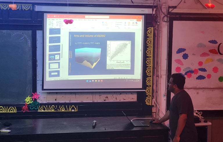
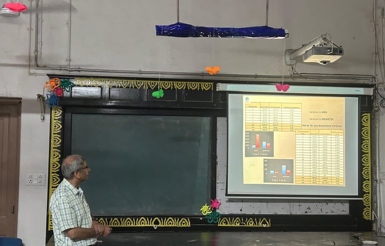
The Arabian Sea Oxygen Mystery: Connecting Clues to Conclusions
Dr. Shiba Shankar Acharya
Abstract
The Arabian Sea Oxygen Minimum Zone (ASOMZ) presents a paradox: it is more dominant in the eastern Arabian Sea rather than the western part, which is more biologically productive and likely to consume more oxygen. This study investigates the sources and sinks of oxygen in the ASOMZ using extended optimum multiparameter (eOMP) analysis and apparent oxygen utilization (AOU). The analysis identifies Indian Deep Water (dIDW), Indian Central Water (ICW), Persian Gulf Water (PGW), and Red Sea Water (RSW) as key contributors. Notably, PGW and RSW drive the eastward shift of ASOMZ instead of the more voluminous ICW and dIDW. This study further reveals that organic detritus from the highly productive western Arabian Sea is transported eastward, fueling the ASOMZ shift. Seasonal variations show a 30% intensification of ASOMZ and a 5% volume increase during the spring-summer transition. Interestingly, productivity in the Arabian Sea doubles during this period, creating a paradox in oxygen distribution. By analyzing oxygen utilization, primary production, and core depths of water masses, this study highlights a delicate balance between oxygen-rich circulation from the west and organic matter remineralization in the east, ensuring the ASOMZ persists year-round.
Week 4- April 21, 2025
Comparative Planetology: Statistical Perspective
Dr. Nilanjan Dasgupta
Abstract
Zeal to know the unknown has been an eternal wish: zeal to land in unknown lands has been an adventure; but visiting the unvisited, by any means, is a wishful adventure with a challenge. It is this challenge that propels us to explore unvisited terrestrial bodies moving around us. Through the eyes of technology, we can see their surface – and to a lesser extent subsurface. Our deep knowledgebase of planet Earth helps us to explain features we see on extra-terrestrial bodies. We relate processes between two far-off planetary bodies, based on the Law of Uniformitarianism, transecting across space and time. This forms the building block of Comparative Planetology. Several tools aid to such a task: geometry, analogues, pattern matching, spectroscopy, gravimetry, statistics, planetary missions and so on. Here I discuss how statistical applications can aid to our understanding of planetary surface features. Any surface feature can be classified to be any one of the three; point, line and plane. I discuss how different statistical methods (maintaining all possible variabilities) for each of these three cases can be used to the field of comparative planetological exercises. I will demonstrate how Fractal geometry, Cross-correlation and Dynamic Time Warping techniques can be deployed to assess planes, lines, and points. However, all statistical operations come with their inherent assumptions and therefore not all statistical operations are universally applicable – an aspect which will be an inherent part of this talk.
Week 5- April 25, 2025
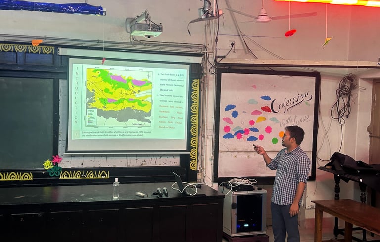
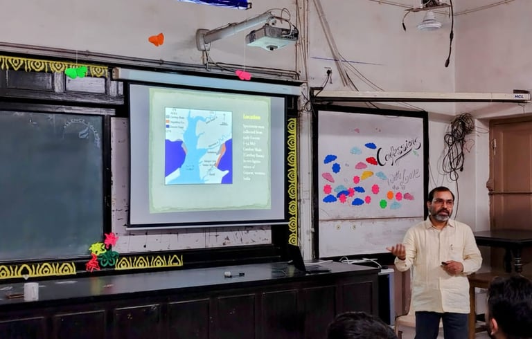
Identifying potential trigger mechanisms of Soft Sediment Deformation Structures (SSDS) within the terrestrial deposits of the Upper Member of Bhuj Formation, Kutch Basin, Gujarat
Rajarshi Banerjee
Abstract
In the present study, eight representative successions belonging to the Upper Member of Bhuj Formation were used for stratigraphic architectural studies, where a common trend in the temporal stacking of sub-aerial deposits was observed from older to younger strata – thick fluvial channel deposits overlain by a horizon of aeolian deposits/non-depositional surfaces, which is further overlain by subsequent fluvial channel deposits. The aeolian facies are characterized by grain fall-grain flow laminae, translatent strata, aerodynamic ripple etc. The non-depositional surfaces are characterized by underlying abandoned channel fills and thick bioturbated paleosol horizons. Irrespective of their spatial occurrence, both the aeolian and abandoned channel/paleosol units were affected by penecontemporaneous Soft-Sediment Deformation throughout the depositional basin. The present study infers that the SSDS, which exhibit large size, complex structures and lateral persistence throughout the basin, were formed due to liquefaction/ fluidization triggered by possible paleo-seismic event on a basin-wide scale. The subsequent re-appearance of fluvial channel deposits was due to the probable tectonic upliftment caused by the paleo-seismic event.
Week 6- April 30, 2025
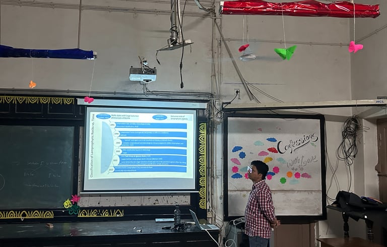
Classification Constraints of Lamprophyric Rocks and Petrogenesis of Bokaro Lamproites
Dev Verma
Abstract
The lamprophyric rocks are volatile-rich, melanocratic, porphyritic rocks with mafic phenocrysts and felsic groundmass. They occur as dikes, sills and diatremes. IUGS Classification of Igneous Rocks, 2002, classifies lamprophyres as “special rock category” along with kimberlite and lamproites under separate type of rocks, which were collectively considered as a single supergroup – “Lamprophyre Clan of Rocks” earlier. IUGS TGIR 2022 report admits “classification of lamprophyric rocks” as one of the key issues for academic discussion. Complex composition and mineralogy of such rocks are resulted from the diverse conditions involved in their genesis. The main petrogenetic factors contributing to the complexity of composition and mineralogy of lamproites are due to the variable nature of their metasomatized source regions in the mantle, depth and extent of partial melting, coupled with their common extensive differentiation. This talk points out the constraints in classification of Lamprophyric rocks along with petrogenesis of Bokaro lamproites.
Week 7- May 7, 2025
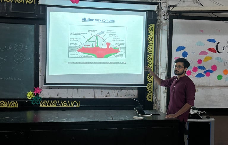
Significance of shear zone fluids in genesis and evolution of alkaline rocks: A global overview
Swaraj Banerjee
Abstract
Shear zones are often associated with alkaline rocks such as nephelinites, monzonites, syenites, nepheline syenites, alkali granites - at times occurring as composite complexes. Such alkaline rocks are the products of melts generated by partial melting of enriched lower- crust/upper-mantle mafic rocks, followed by an extensive fractionation and differentiation process. This signifies the role of fluid induced metasomatic enrichment of alkalis and other fluid-mobile elements like REEs, LILEs, and halogens in the source region. The activation of shear zone provides conduits for the emplacement of such alkaline melts along with the opportunity for the escape and mixing of volatile rich fluids. Fluid-inclusion study of such alkaline rocks throughout the world have confirmed the presence of trapped fluids of varying compositions belonging to the C-O-H system. The speciation of the fluid into its components, i.e., CH4, CO2 and H2O; depends on oxygen fugacity (fO2) and temperature of the fluid. Hence, the deeper level fluids are usually reduced (enriched in CH4- CO2 components), whereas the shallower level fluids are oxidized (CO2-H2O bearing). The characteristics of the fluid in turn determines the nature of fluid-melt/fluid-rock interaction that takes place at various depths and pressure conditions. The transition of the shear zone from ductile to brittle regime also plays an important role in the evolution of fluids and the associated melts- and is believed to be a key factor which causes immiscibility between a hydrous and a volatile rich component. The complex effect of the evolving fluid and the fractionation of the associated melt is believed to be responsible for the huge diversity in the composition and mineralogy of the alkaline rocks throughout the world.
Week 8- July 30, 2025
“The Trembling of Everything”: Piecing together the Assam Earthquake of 1897
Utsa Bose
Abstract
On 12th June, 1897, an earthquake of horrific proportions tore through the East of British India. With its epicentre near the Shillong Plateau, the rumbling travelled across the breadth of the subcontinent, largely destroying the Assam Province, damaging major cities such as Calcutta, while tremors were felt all the way up to Peshawar in the west and Burma in the east. With a magnitude crossing 8 on the Richter scale, today, the earthquake is largely remembered as one of the most destructive natural disasters in the history of British India, and is remembered, especially in scientific circles, for the famous report it inspired. This report, by Richard Dixon Oldham (then the Superintendent of the Geological Survey of India), used the evidence of the earthquake to prove the existence of three kinds of seismic waves, as well as the first direct evidence of the existence and size of the earth’s core.
Taking this great seismic event as a case study, this talk will explore the Assam earthquake in the context of a larger social history, placing the rumbling earth within a larger canvas of scientific networks, political shifts, social movements, competing testimonies and technological changes. In doing so, it will make a case for the history of science, technology and the environment, and the need for multidisciplinary perspectives.
Week 9- August 6, 2025
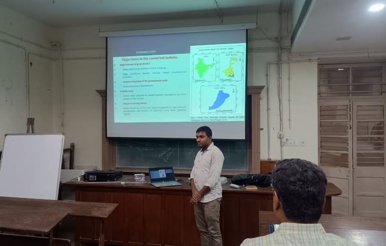
Assessment of fragile hydrological system in coastal alluvial province of Purba-Medinipur district, West Bengal, India: insights from remote sensing, GIS and geophysical approach
Bibek Saha
Abstract
In coastal region delineation of groundwater potential zones, flood susceptibility zones and saline water intrusion zones are very challenging task. One of the reasons for that is lack of understanding of the geogenic factors in the coastal alluvial areas. The potential groundwater zones, flood susceptibility zones can be influenced by these geogenic factors, on the other hand NDVI can be impacted by saline water intrusion in coastal alluvial terrains. The present study is an attempt to analyse the multiple factors to delineate groundwater potential zones, flood susceptibility zones and saline water intrusion zones in the coastal region of Purba Medinipur district, West Bengal, India. In this study, remote sensing, geographic information system (GIS) and analytical hierarchical process (AHP) techniques have been utilized to delineate the groundwater potential zones and flood susceptibility zones. The change detection analysis of NDVI has been made to see the impacts of salinity to changes the vegetation pattern in coastal areas. The produced groundwater potential map was validated by water yield data, water level fluctuation data and geophysical survey. The very high and high flood susceptibility zones were validated by flood inundation map acquired from Sentinel-1 SAR (Synthetic Aperture Radar) data in Google Earth Engine (GEE) platform. The changed area in NDVI map was cross-verified by the data (electrical conductivity and chloride- bicarbonate ratio) of Central Ground Water Board, India. The output of the study reveals that geomorphologically older deltaic plain, older alluvial plain and older coastal plain are good indicators of high groundwater potential regions. The outcome of the study also reveals that older alluvial plain and older flood plain are vulnerable to major flood hazard. The result reveals that in saline water contaminated areas in shallow to intermediate aquifer system, the density of dense vegetation is very low and in fresh water regions, the density of dense vegetation is high. This study will be helpful for effective management of ground water resources in coastal alluvial regions.
Week 10- August 13, 2025
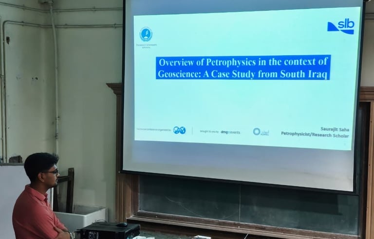
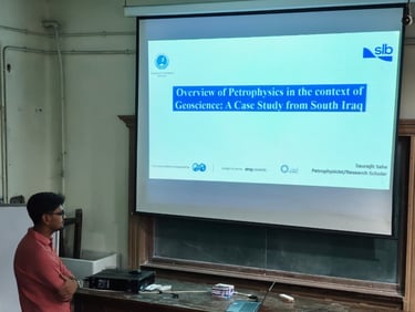
Overview of Petrophysics in the context of Geoscience: A Case Study from South Iraq
Saurajit Saha
Abstract
Petrophysical logging is a fundamental component of subsurface characterization, playing a critical role in the identification and evaluation of hydrocarbon reservoirs. This presentation provides a comprehensive overview of essential petrophysical logs—including Gamma Ray, Density, Neutron, and Sonic logs—with an emphasis on their physical principles, acquisition methodologies, and interpretational applications. Through illustrative examples and comparative analysis, the talk explores how these logs are employed both individually and in combination to estimate key reservoir properties such as lithology, porosity, shale volume, and fluid saturation. Special focus is given to sonic and acoustic measurements, which serve as a bridge between reservoir characterization and geomechanical modelling.
In the second part of the session, a detailed case study from a carbonate reservoir in South Iraq is presented to highlight the practical application of advanced acoustic tools and techniques in a complex geological setting. The studied formations, comprising heterogeneous Cretaceous carbonates and interbedded clastics, posed significant challenges in terms of formation evaluation and wellbore stability. By integrating cross-dipole sonic logs, Stoneley wave analysis, and dispersion-based anisotropy detection, the study successfully identified spatial variations in fluid mobility, fracture orientations, and elastic moduli.
Stoneley wave attenuation was used to derive continuous mobility profiles, which were subsequently validated using NMR logs and dynamic formation testing. Dipole shear anisotropy revealed both intrinsic and stress-induced anisotropy, with shear wave splitting indicating regional stress orientations that were consistent with drilling-induced borehole features. These acoustic insights were incorporated into multi-well Mechanical Earth Models (MEMs), enabling accurate stress profiling, pore pressure prediction, and wellbore stability analysis. Recommendations for safe mud weight windows and optimal trajectory design were derived from the MEM outputs, reducing operational risks and improving drilling efficiency.
This presentation aims to bridge the gap between theory and field practice by demonstrating how the integration of petrophysical and acoustic measurements can drive informed decision-making in reservoir development and geomechanical planning.
Week 11- August 20, 2025
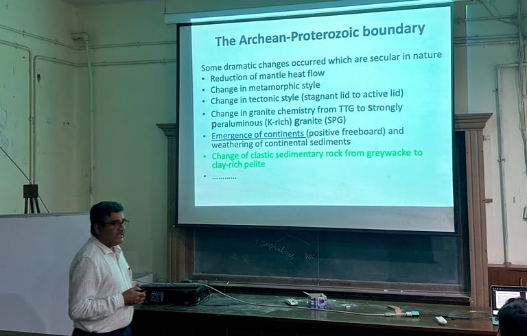
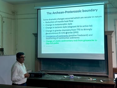
Global emergence of strongly peraluminous granites: a theoretical study
Dr. Sankar Bose
Abstract
The emergence of continents above sea level (positive freeboard) in the later part of the Archean era caused significant changes in geomorphic attributes of the Earth, which eventually was responsible for a number of secular changes. Dramatic changes in metamorphic styles and magmatic characters are linked to the change in tectonic settings from a stagnant lid to a peeling-off type during this transition. Sediment characters also changed from greywacke-mudstone-shale to more matured siliciclastic varieties. The composition of the felsic igneous rocks also evolved from a tonalite–trondhjemite–granodiorite (TTG) to strongly peraluminous granite (SPG) broadly at the same time frame. This very transition is directly linked to the changing paradigm of the sedimentary rock formation. This study examines the partial melting behaviour of Late Archean and Early Proterozoic sediments using phase equilibria modelling and explores its role in changing the composition of the felsic continental rocks, along with the mineralogical diversity of the residual products of partial melting. Melting behaviour must have been controlled by H2O-understaurated condition at lower crustal depth. The results show that the SPGs could originate from mudstone, shale, and greywacke protoliths across the Archean–Proterozoic boundary without significant differences in melting temperatures. Significant melting (~40 vol.%) might have occurred at temperatures exceeding 750°C at lower crustal conditions (~8 kbar), and the melt could ascend to higher levels as granite plutons. The theoretically calculated melt compositions broadly match with the SPGs, albeit with complex trends. A large number of such SPGs near the Archean–Proterozoic boundary could, thus, originate from the partial melting of sediments eroded from the continental highlands. The mineralogical diversity of the residual granulites can be explained by the diversity of original sediment characters (greywacke vis-a-vis pelite) as well as the pressure, temperature, and fluid compositions of melting.
The published version of this work can be found in the following-
Mallick, S., Bose, S., 2025. Partial melting of metasedimentary rocks near the Archean-Paleoproterozoic boundary and formation of strongly peraluminous granites: a theoretical study. Journal of Earth System Science, 134, p.19; DOI: 10.1007/s12040-024-02476-z.
Week 12- August 27, 2025
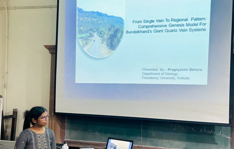
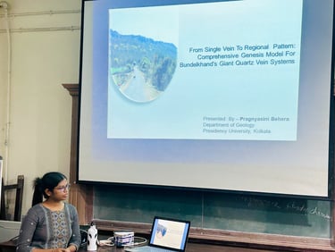
From Single Vein to Regional Pattern: Comprehensive Genesis Model for Bundelkhand's Giant Quartz Vein Systems
Pragnyasini Behera
Abstract
The Bundelkhand Craton (BuC) is a ~29,000 km² Archean nucleus that preserves rare and invaluable records of Earth's earliest crustal evolution. One of the most enigmatic features associated with the BuC, which remains far from a definitive explanation despite decades of research, is the kilometre-scale series of equally spaced, almost perfectly NE-SW oriented Giant Quartz Veins (GQV) piercing the BuC granitoids. These structures can sometimes be traced along strike for up to 100 km in length and 10-60 m in width as discontinuous pinch-and-swell type outcrops. Any comprehensive model needed to explain the genesis of these features (20 major GQVs >60 km long, and ~1,500 smaller veins measuring hundreds of meters to few kilometres) must address the aforementioned structural characteristics along with their diverse colours (shades of green, pink, milky white, and grey), subparallel intrusions of multiple quartz veins, and varieties of quartz textures (fine to megacrystalline) within individual GQVs. In this presentation, an attempt has been made to showcase all these varieties within a single GQV, famously known as Datla Pahad by locals, named after the skeleton of a demon because of its distinctly giant structure (~10 km length, 130m height, 900 m width) with white colour that contrasts sharply with the surrounding weathered pink-granitoid soil mass. Based on field observations, petrographic studies, structural analysis, SEM-EDS analysis, and geochemical elemental compositional data, a comprehensive model will be discussed that could explain all the above-mentioned enigmatic features. This presentation simplifies the GQV system of the BuC and reinterprets some earlier observations, providing insights valid for the entire craton.
Week 13- November 13, 2025
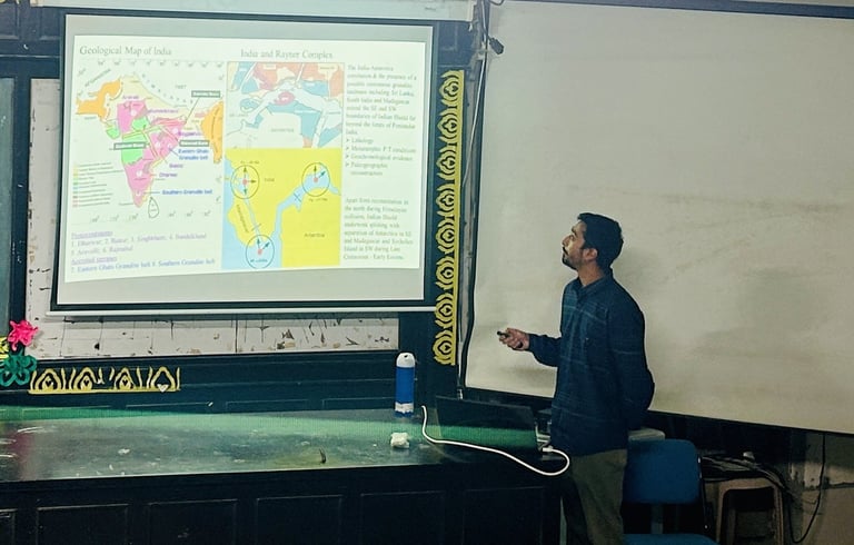
Deformation, Metamorphism and Geochronological evolution of the high-grade Proterozoic rocks around Boudh, Odisha: Implications on development of structural-kineamtic domains and assembly of the Northern Eastern Ghats Belt
Shuvankar Karmakar
Abstract
The Proterozoic Eastern Ghats Belt (EGB), along India’s east coast, forms a crucial link between the Dharwar, Bastar, and Singhbhum Cratons. It played a key role in connecting continental blocks during the assembly of Rodinia and Gondwana. The belt is characterized by lower crustal rocks that experienced multiple cycles of ultra-high temperature (UHT) metamorphism, reflecting complex tectonothermal evolution. It comprises several crustal domains with distinct metamorphic and structural characteristics. This study focuses on the northern EGB around Boudhgarh, Odisha, where the Mahanadi Shear Zone (MSZ) and Ranipathar Shear Zone (RSZ) separate the Phulbani domain in the south from the Angul Tikarpada domains in the north. The Phulbani domain is dominated by porphyritic granite gneiss hosting enclaves of felsic gneiss, aluminous granulite, mafic granulite, and coarse grained charnockite. The MSZ consists of porphyritic granite transformed into augen gneiss, enclosing felsic gneiss, mafic granulite, hornblende gneiss, and hornblendite. Mafic granulites occur as garnet-bearing and garnet-free varieties. Four deformation phases (D1 D4) are recognized. D1–D3 structures occur in the Phulbani domain, while the MSZ is dominated by the mylonitic D3M phase. S1 foliation is preserved in aluminous and mafic granulite enclaves, S2 in charnockite and augen gneiss, and the S1–S2 composite fabric defines regional F2 folds. Later conjugate shear zones (S3) overprint these fabrics. In the MSZ, the S3M mylonitic fabric comprises a high-temperature (S3MH) and a later low temperature (S3ML) fabric. Mafic granulite enclaves within mylonitised felsic gneiss along the MSZ record high-pressure metamorphism. The assemblage garnet + clinopyroxene + plagioclase + quartz + rutile formed during M1 (11–14 kbar, 760–840°C) after dehydration melting of a hornblende-bearing protolith. Retrogression (M1R) involved hornblende and symplectite formation (8–9 kbar, 760–810°C), indicating isothermal decompression. Geochemistry suggests a MORB–OIB protolith, while the felsic gneiss reflects granitic magma emplaced in an arc setting. South of the MSZ, granulites of the Phulbani domain record UHT metamorphism (904–935°C, 7.0–7.4 kbar) through biotite dehydration melting. Retrograde M1R is marked by garnet–sillimanite coronas and matrix biotite (707–806°C), indicating near-isobaric cooling. Coexistence of rocks with clockwise and counterclockwise P–T paths across the MSZ suggests a paired metamorphic signature in a subduction collision setting. Zircon U–Pb and monazite ages indicate M1 metamorphism at 980–960 Ma, followed by decompression during granitic crystallization (~960 Ma). The Phulbani domain underwent contemporaneous UHT metamorphism at shallower levels. Structural and kinematic data reveal that the MSZ experienced high-grade triclinic transpression (D3MH, 600–800°C) between 950–900 Ma, marking the amalgamation of the Phulbani and Angul Tikarpada domains. A later greenschist-facies reactivation (D3ML, 550–500 Ma) represents reworking during the Kuunga orogeny. Thus, the MSZ is interpreted as a terrane boundary shear zone central to the Rayner–Eastern Ghats orogeny, recording Proterozoic continental assembly between India and East Antarctica.
Keywords: Eastern Ghats Belt, Grenvillian tectonics, High-pressure metamorphism, Mahanadi Shear Zone, Paired metamorphism.
Week 14- November 19, 2025
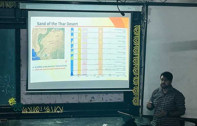
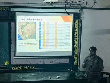
Exploring the Antiquity of Thar Desert: a Provenance Perspective
Satyajit Majumder
Abstract
The Thar Desert of Indian subcontinent preserves evidence of major climatic shifting from a wetter and greener past to a more desolate landscape. Yet the timing of its shift from wetter conditions to sustained aridity is solely based on Optically Stimulated Luminescence (OSL) dating and remains uncertain. In this talk I will introduce the compilation of existing OSL ages from dune sequences and examine them alongside global sea-level curves and present-day rainfall zones. While addressing the limitations of OSL chronologies—particularly in reworked or young dune systems, U–Pb detrital zircon ages of sediments will be used to provide an independent indicator for bracketing the antiquity of the desert. A rare exposure of a major palaeochannel in the northern Thar Desert preserving an undisturbed fluvio-aeolian sequence dated to ~185–145 ka will be used as the secondary proxy to pinpoint the first appearance and subsequent strengthening of aeolian sedimentation. This will demonstrate how the desert system extends further back in time than previously indicated by dune-based OSL ages alone. Collectively, these results document multiple phases of sediment influx and landscape reorganization across the Thar Desert, with important implications for regional palaeoclimate reconstruction and patterns of early human migration.
Week 15- November 26, 2025
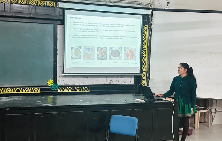
Comparative n‑Alkane proxies of Diverse Environmental Samples: Collection, Lipid Extraction and Chromatographic Insights
Dibyashree Mahapatra
Abstract
This study presents a comparative investigation of lipid biomarkers in diverse environmental and archaeological matrices, including sediments, plant, peat, surface water, coal, and archaeological residues. Samples were collected using standardized protocols that preserve lipid integrity, followed by lipid extraction and fractionation via silica‑gel column chromatography to isolate the hydrocarbon (n‑alkane) fraction. Gas chromatography–mass spectrometry (GC‑MS) was employed to generate n‑alkane chromatograms for each sample type, allowing assessment of carbon‑chain length distribution, odd‑over‑even predominance, and diagnostic ratios (e.g., CPI, Paq, TAR). Results reveal distinct n‑alkane signatures that reflect source vegetation, depositional environments, and diagenetic alteration: peat and recent sediments exhibit strong odd‑carbon dominance indicative of higher plant waxes, whereas coal display a broader, more degraded profile with elevated contributions from microbial and thermogenic sources. Water samples showed minimal n‑alkane concentrations, and even over odd carbon predominance. The comparative chromatographic analysis underscores the utility of n‑alkane fingerprints for reconstructing paleo‑environmental conditions and assessing anthropogenic impacts across contrasting sample types. This work contributes to methodological guidelines for integrated lipid biomarker studies in organic biogeochemistry and offers a concise reference for interpreting n‑alkane patterns in heterogeneous sample sets.